Walk starts at the layby (51.635580 N 2.447415W) on the B4509 which is off to the
right of the M5 at Junction 14 (the first on the M5 after the M4 interchange for
Falfield/Layhill)
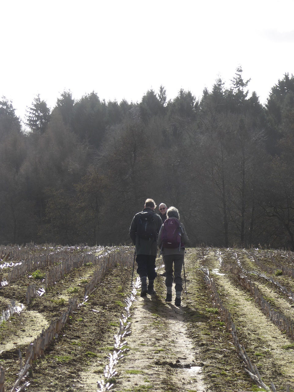
Walk is "a lovely stroll through woods, along lanes and river banks to visit quiet
Gloucestershire hamlets. Although an undulating walk, there is only one short steep
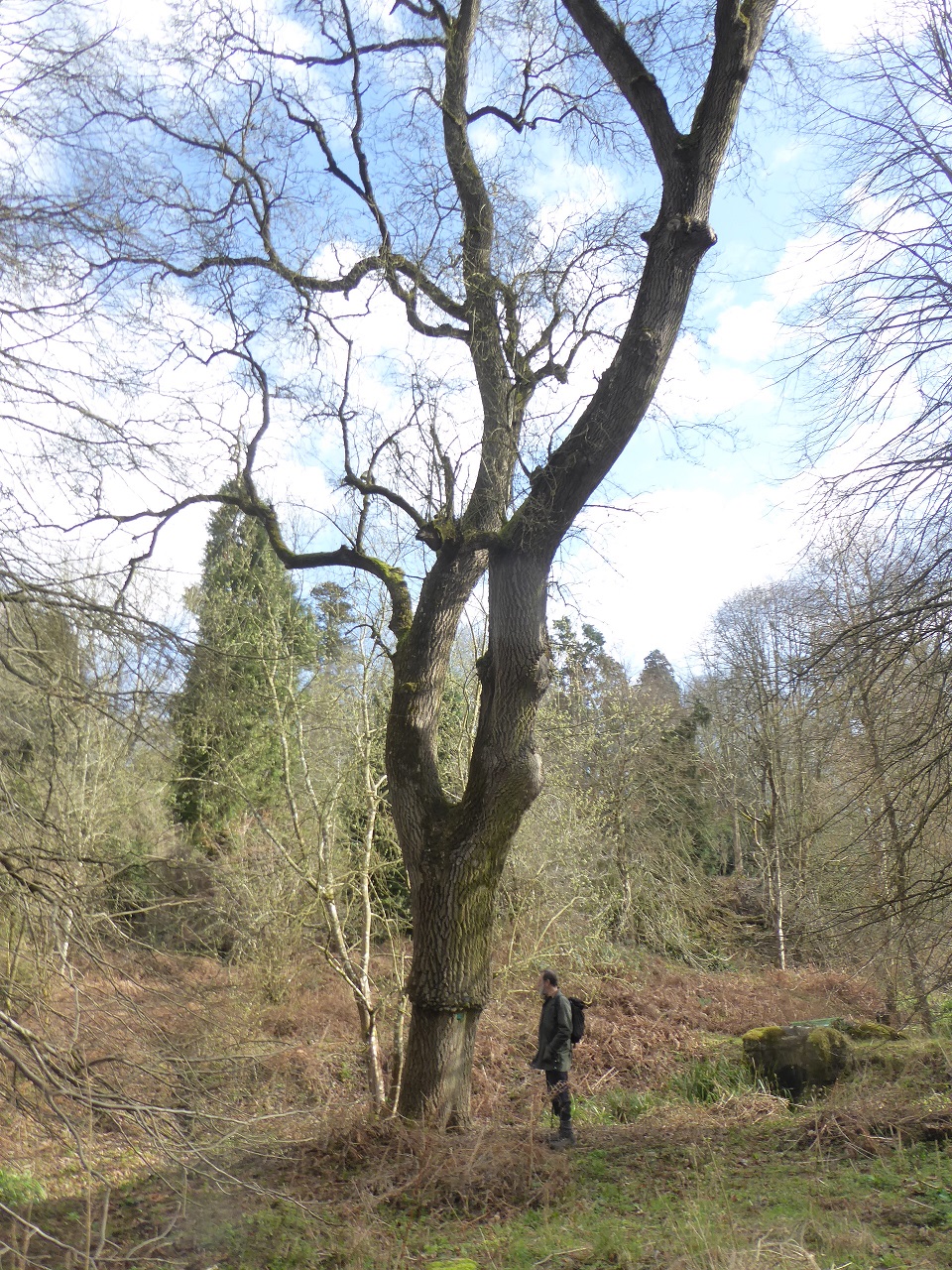
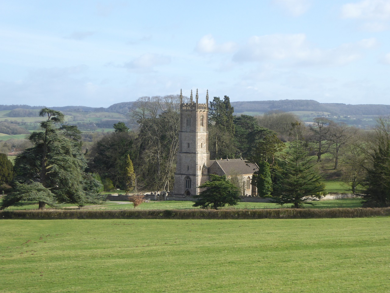
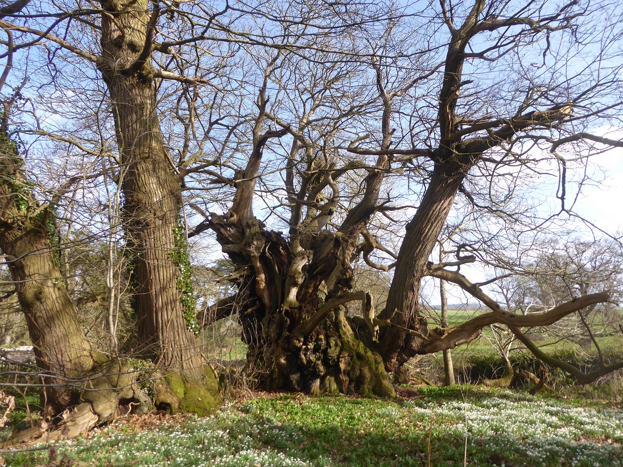
climb" On the way we see the Torthworth Chestnut possibly the oldest Sweet Chestnut in the country and
St Leonard's Church.
Distance 4 miles (2 hours). I suggested lunch at the Pear Tree micro pub just up the
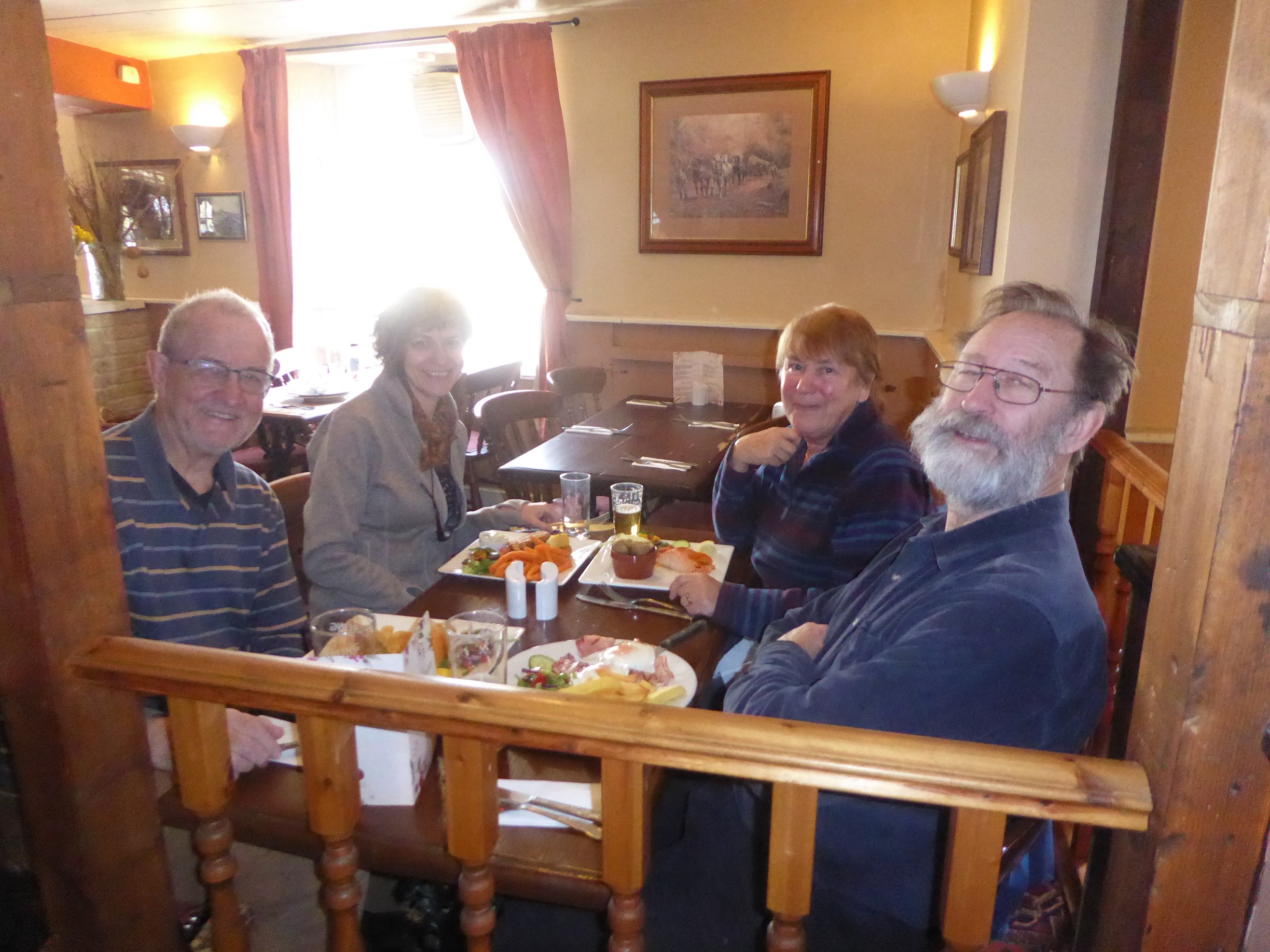
road in Charfield but it truned out not to do food, so we went to ... instead
